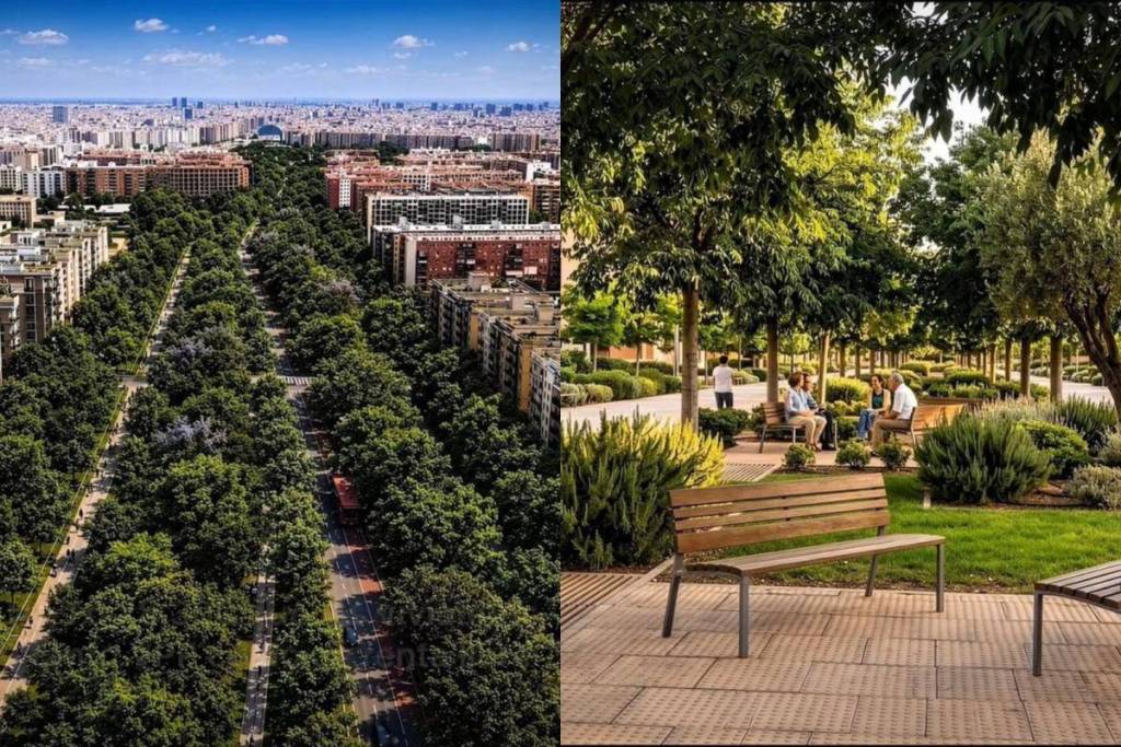

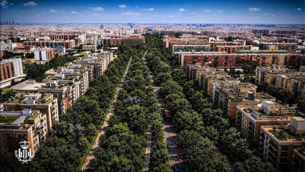
The Valencia City Council has presented the traffic plan for the future Paseo García Lorca, the urban thoroughfare to be built on the land freed up by the underground relocation of the train tracks at the southern entrance to the city, next to Joaquín Sorolla Station.
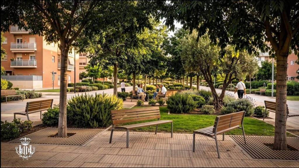
The city’s proposal allocates 88% of the space to pedestrians, cyclists, and green areas, reserving only the remaining 12% for vehicular traffic, including the bus lane.
Mayor María José Catalá presented the document on Tuesday morning before sharing it with residents of the affected area that afternoon. The project responds to a far-reaching urban transformation: the immediate surroundings of the boulevard currently include the neighborhoods of La Raiosa, Malilla, and Favara, which have historically been separated from the city center by the railway infrastructure.
A study that analyzed 26 alternatives
The final design is based on a technical mobility study commissioned by the city council, which conducted macro- and microsimulations of traffic, considering up to 26 different alternatives, including the Green Corridor promoted by the previous municipal government.
The analysis covered the corridor between San Vicente Street to the west and Ausias March Avenue to the east, and between the Giorgeta viaduct to the north and the Ronda Sur (Fernando Abril Martorell) to the south.
The study also incorporated the projected population growth for the area: in the immediate vicinity of the boulevard, approximately 6,000 homes and some 12,000 new residents are planned; for the entire area, 8,300 homes and 16,000 residents.
According to simulations, this population increase will result in 20,400 additional vehicles compared to the current situation, even accounting for the reduction in private car use projected in the EMT Master Plan and the expansion of the cycling network.
Why the Green Corridor Was Rejected
The technical report concluded that the Green Corridor solution—which would have concentrated all traffic on San Vicente, Carrera de Malilla, and Ausias March—was not viable. According to simulations, during rush hour—between 8 and 9 a.m.—around 3,500 vehicles would have taken more than an hour to travel down San Vicente Street in a situation of total gridlock.
The data is even more precise: in the immediate vicinity of the boulevard, that solution would have increased the average total queue length by 104.34%, travel delay by 15.22%, and the ratio of delay to travel time by 5.33%, compared to current values.
The final configuration
The approved proposal organizes traffic as follows:
- Paseo García Lorca will become a one-way street heading south, with two lanes for private vehicles, one lane for public transportation, and a two-way bike lane. On-street parking will be eliminated to reduce through traffic and will be relocated to a 495-space multi-level parking garage within the corresponding PAI.
- San Vicente Street will become a one-way street heading north from Bulevar Sur, with two lanes for private vehicles, one lane for public transportation, and the existing two-way bike lane.
- Three cross-connections will be established—along Joaquín Navarro, Almudaina, and Pianista Empar Iturbistreets —to ensure connectivity between the neighborhoods on both sides of the corridor.
- The existing bridge on Bulevar Sur that currently spans the railroad tracks will be demolished, with the aim of eliminating the barrier effect between neighborhoods.
Reduction of traffic on adjacent roads
Compared to the rejected model, the final solution reduces traffic volume on the surrounding streets: by 41% on San Vicente, 36% on Carrera de Malilla, and 10% on Ausias March, according to city data. The design also aims to optimize traffic signal coordination to extend crossing times for pedestrians.