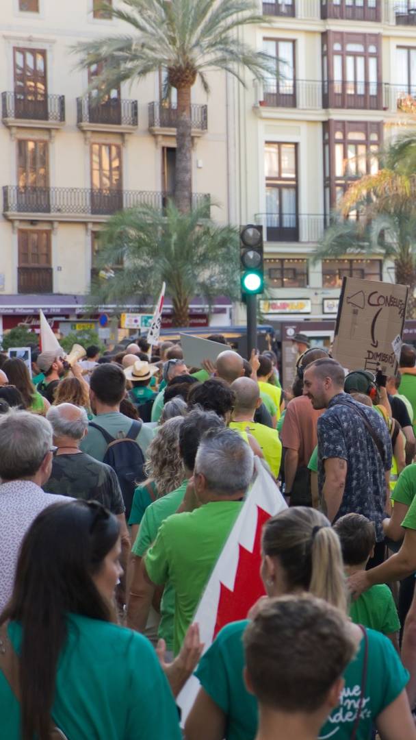

The October 2024 storm marked a turning point in the lives of hundreds of thousands of people in Valencia. Two years later, with the memory still very much alive, Valencian society continues to seek a way to return to normalcy and keep growing with the assurance that a tragedy of such magnitude will never happen again.
One of the main challenges in tackling the reconstruction effort is urban planning and the ability to determine which areas are safe for construction, while also establishing residential and industrial zones. In this regard, the Valencian Regional Government has presented two closely related studies in recent weeks: a new flood prevention plan for the Valencian Community and a new map of safe land in the province of Valencia.
The first of these, the Territorial Action Plan for Flood Risk Prevention (PATRICOVA), increases the territory classified as a flood-prone zone in the metropolitan area and surrounding regions of Valencia by more than 60 percent. These zones have been divided into seven levels based on risk: construction is completely prohibited in the most dangerous areas, while in others with lower risk, building is permitted but subject to restrictions such as orientation, height, and a ban on the construction of basements and underground parking garages.
Among the most hazardous areas, four critical sectors heavily affected by the October 2024 floods have been identified: Alto Magro, Bajo Magro, Bajo Turia, and the ravines of l’Horta Sud and its surroundings.
More than 1,500 hectares designated as safe for the construction of 131,500 homes
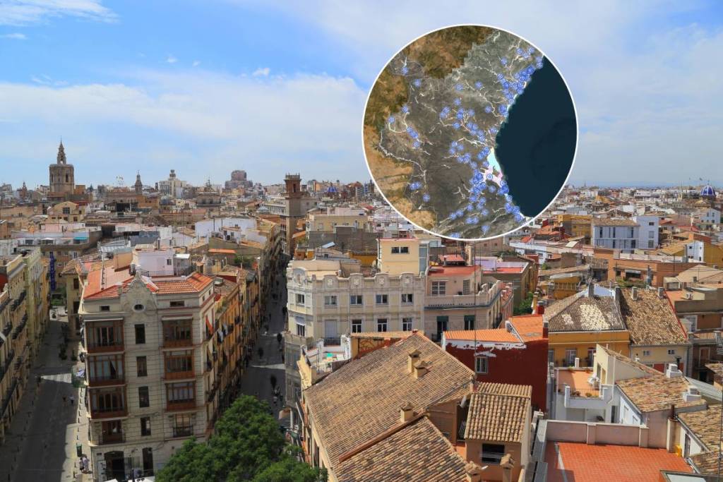
In addition, the technical study of safe land has identified 1,546 hectares of non-flood-prone land suitable for the construction of 131,500 homes and approximately 1,600 hectares designated for industrial and logistics use. In total, more than 31 million square meters are available for the construction of buildings and homes.
These safe sites are spread across more than 80 municipalities in the province of Valencia, including eight residential areas identified for development: Sagunt (north), Bétera (east), Paterna (around the CV-35), La Pobla de Vallbona, Manises (north), Picassent (west), Torrent (east), and areas of unused land in the city of Valencia.
These areas are being prioritized for construction due to rising housing costs and a housing shortage throughout the country—a situation further exacerbated in Valencia and nearby towns by the damage and destruction to buildings caused by the disaster.