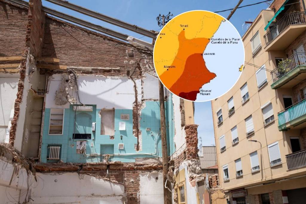

Storms, volcanic eruptions, earthquakes, wildfires… the force of nature is unstoppable, and the most recent natural disasters have shown us that we underestimate its power and that, in many cases, we are unprepared to deal with them. For this reason, the Spanish government has published a new Basic Civil Protection Planning Guideline regarding earthquake risk in the Official State Gazette (BOE).
These guidelines include updated information on new prevention measures and cooperation among government agencies, as well as a seismic risk map that categorizes the level of danger in each of the country’s municipalities and provinces.
The Valencian Community has areas classified as grades VI, VII, and VIII, spread across the three provinces, with the southern part of the Valencian territory being the most exposed to seismic disasters.
Seismic Risk Map: Which Municipalities Are Most at Risk
The province of Alicante poses the greatest seismic risk. Its entire territory is located in a Grade VII zone, with 31 municipalities in a Grade VIII zone—the area with the highest seismic intensity in the country. This seismic activity is due to the continuous collision between the Eurasian and African tectonic plates, which has created a dense network of active faults in this region.
The classification of different seismic intensity levels means that the higher the level, the greater the destructive capacity and risk posed by earthquakes. Therefore, municipalities classified as levels VII and VIII must implement a Municipal Action Plan and other preventive measures.
The municipalities located within a Grade VIII area are Alicante, Elche, Torrevieja, Orihuela, Santa Pola, Crevillent, Pilar de la Horadada, Almoradí, Callosa de Segura, Rojales, Guardamar del Segura, Albatera, San Fulgencio, Catral, Redován, Dolores, Cox, Bigastro, San Miguel de Salinas, Benejúzar, Los Montesinos, Rafal, Formentera del Segura, Algorfa, Benijófar, Granja de Rocamora, San Isidro, Jacarilla, Benferri, Daya Nueva, and Daya Vieja.
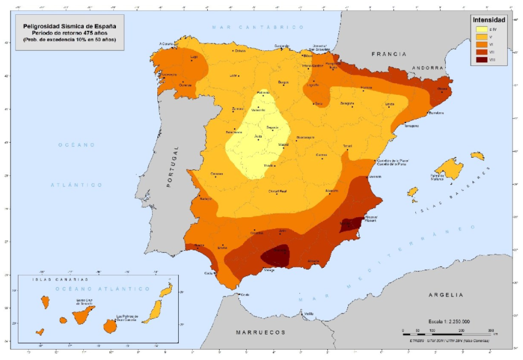
The city of Valencia and the southern half of the province are classified as Level VII risk, which means they must also establish their own programs of measures to prevent earthquakes and establish protocols for action in the event of seismic activity.
The northern half of the province of Valencia, extending approximately to Castelló de la Plana, is located in an intensity zone VI; therefore, these areas will not need a municipal plan but will instead follow the Valencian Community’s action strategy. The northern part of the province of Castellón is located in an intensity zone V, so it does not need to establish any new action plan.