
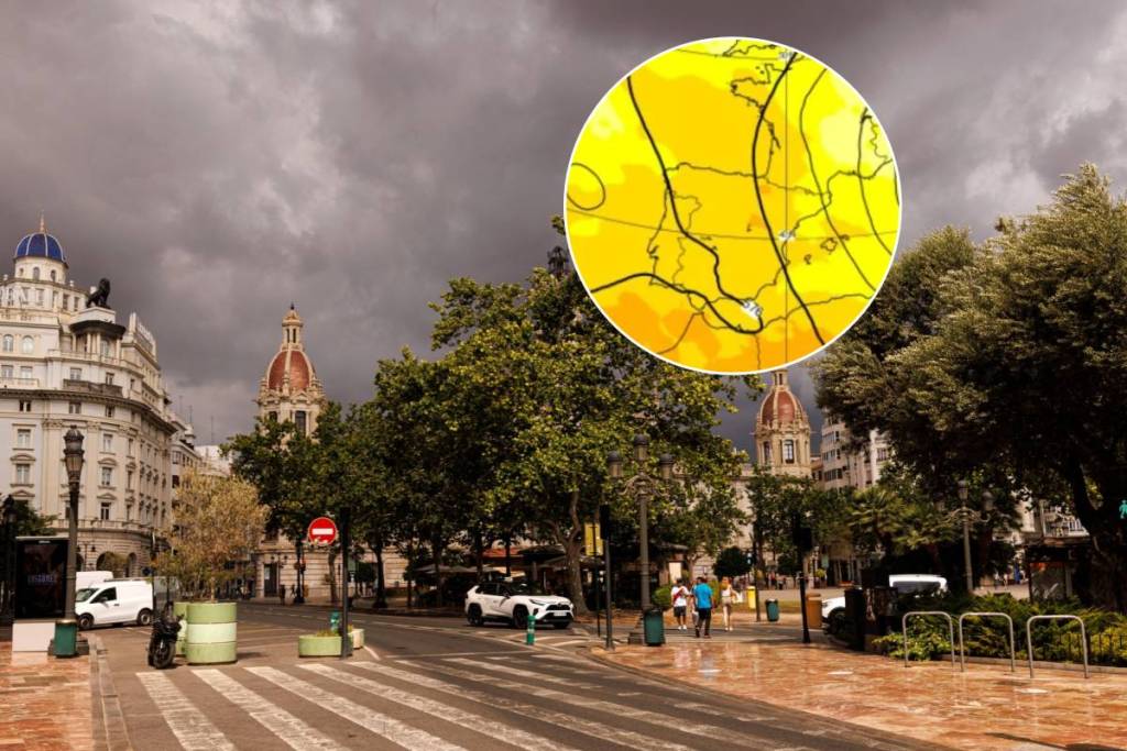

Fall has arrived in Valencia, and although we’ve already “gotten used” to heavy rains and red alerts over the summer, the season of cold drops or DANAs (isolated upper-level low-pressure systems) began a little over a week ago with the tragic arrival of DANA Adam in La Safor and the Marina Alta.
Unfortunately, it seems the weather isn’t going to give us much of a break from storms and torrential rains, and experts are forecasting the arrival of a new cold drop next week.
Specifically, the risk of a storm will be highest on November 3 and 4. The European forecast model (ECMWF) and Meteored’s analysis predict rainfall of 100 l/m² in Valencia and up to 276 l/m² in some areas such as La Safor—one of the regions hardest hit by the last storm, where towns like Oliva, Piles, Miramar, Bellreguard, and Daimús are still recovering.
A 50% chance it will hit the coast
Although, at first glance, the amount of rain expected is nowhere near as much as that of DANA Adam, the risk lies in the intensity and the length of time over which that rain will accumulate.
However, experts are urging caution: the probability that the cold drop will affect the Valencian coast is 50%, and many factors could influence its intensity or exact location, as there is a high likelihood that it will remain over the sea.
The source of the cold air mass approaching the Mediterranean lies between the British Isles and the seas of northern Europe. A high-pressure system is expected to clash with the warm weather forecast for next week, with highs ranging from 26 to 27 °C on Monday and Tuesday.
